Don’t venture out into uncharted Territory. Plan your NT adventure with these comprehensive maps covering towns, deserts, islands, national parks, tourist drives and 4WD tracks.
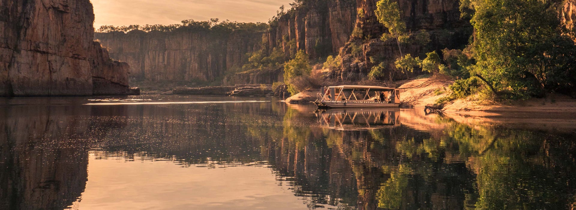
Find your way around the Top End with maps covering Darwin City, Kakadu, Litchfield National Park, Arnhem Land and the Tiwi Islands.
Maps of the Red Centre covering Alice Springs, Tennant Creek, Uluru and Kings Canyon will guide your travels and highlight some of the great information displays that appear along the way.